# install.packages("devtools")
# devtools::install_github("JK-junkin/frabento")
library(frabento)
library(ggplot2)
library(sf)
1. 白地図として使用
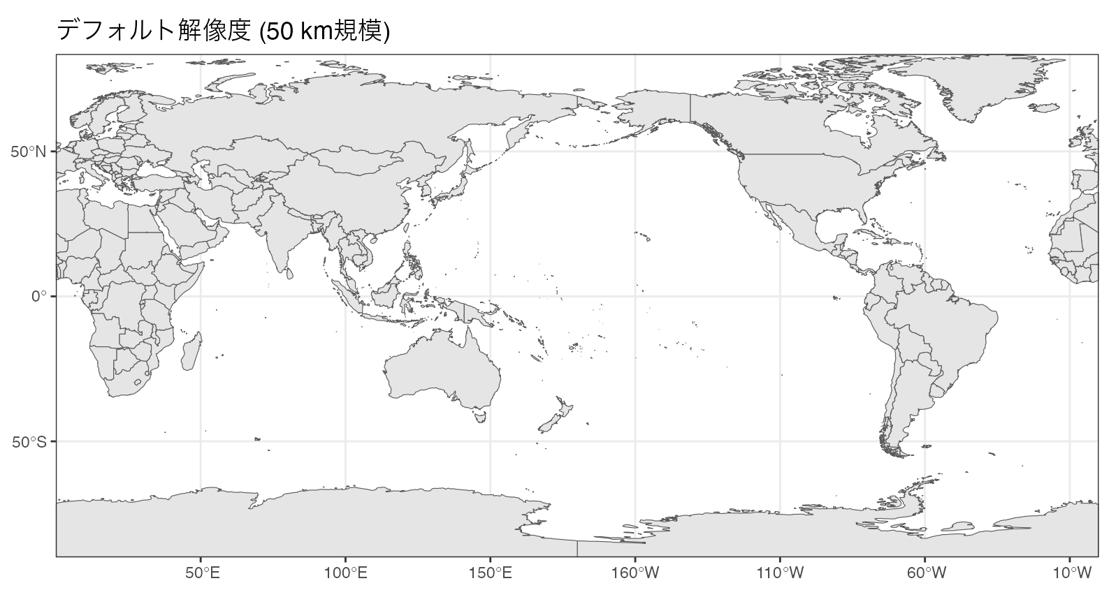
frabento::wmap_sf(lgl = c(130, 145), ltl = c(30, 45)) +
    ggtitle("デフォルト解像度地図を拡大") +
    geom_point(aes(x = 135, y = 35), color = "red")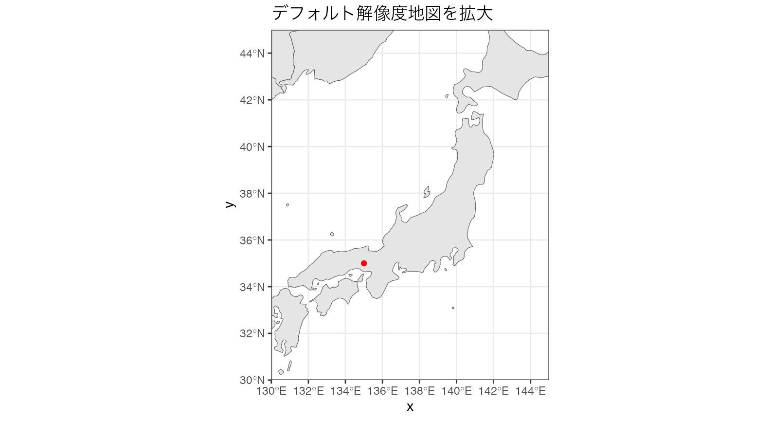
frabento::wmap_sf(lgl = c(130, 145), ltl = c(30, 45), sf_resol = 10) +
    ggtitle("高解像度地図 (10 km規模) を拡大") +
    geom_point(aes(x = 135, y = 35), color = "red")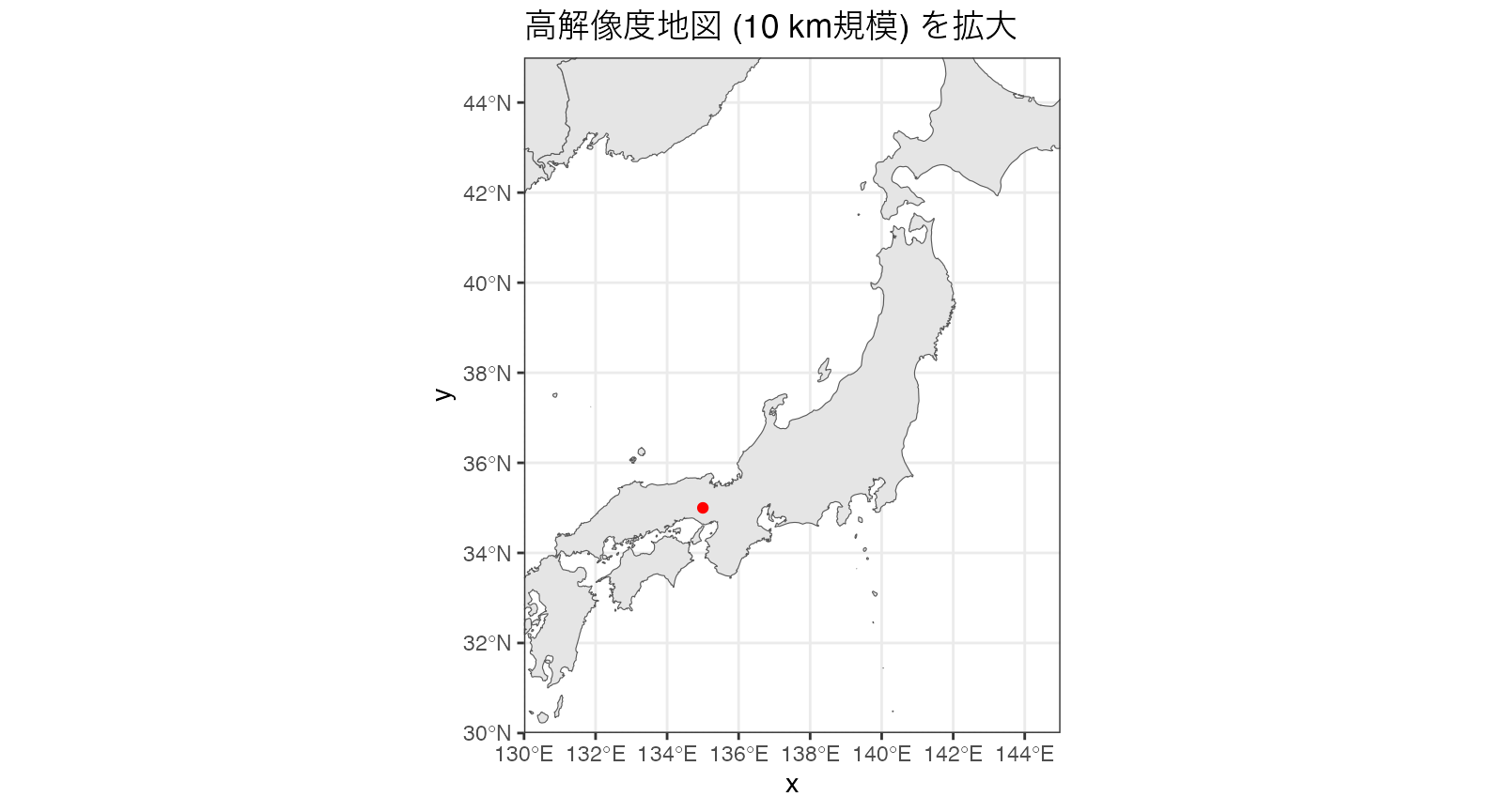
frabento::wmap_sf(lgl = c(135, 155), ltl = c(30, 48), sf_resol = 10) +
    theme_void() +
    ggtitle("高解像度地図 (10 km規模) の切り抜き白地図")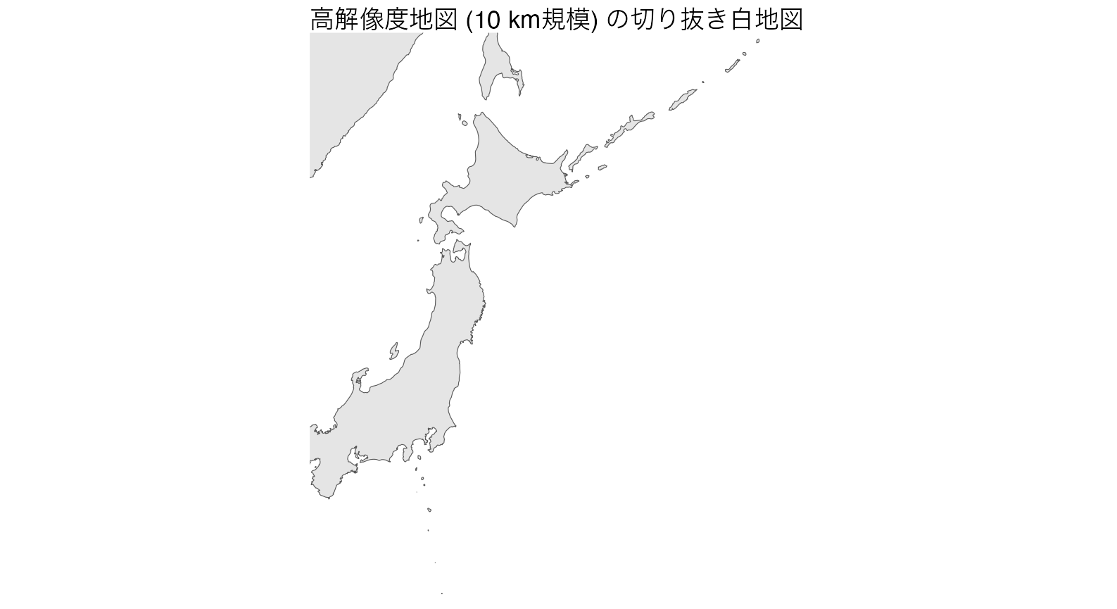
2. 既存のデータに地図を足す
df <- data.frame(Long = runif(n = 30, min = 135, max = 150),
                 Lati = runif(n = 30, min = 30, max = 40),
                 group = rep(1:3, each = 10))

ggplot(data = df) +
    geom_point(aes(x = Long, y = Lati, color = as.factor(group))) +
    wmap_sf(as_gg = FALSE, lgl = c(125, 155), ltl = c(25, 50)) +
    ggtitle("追加のlayerとして使用")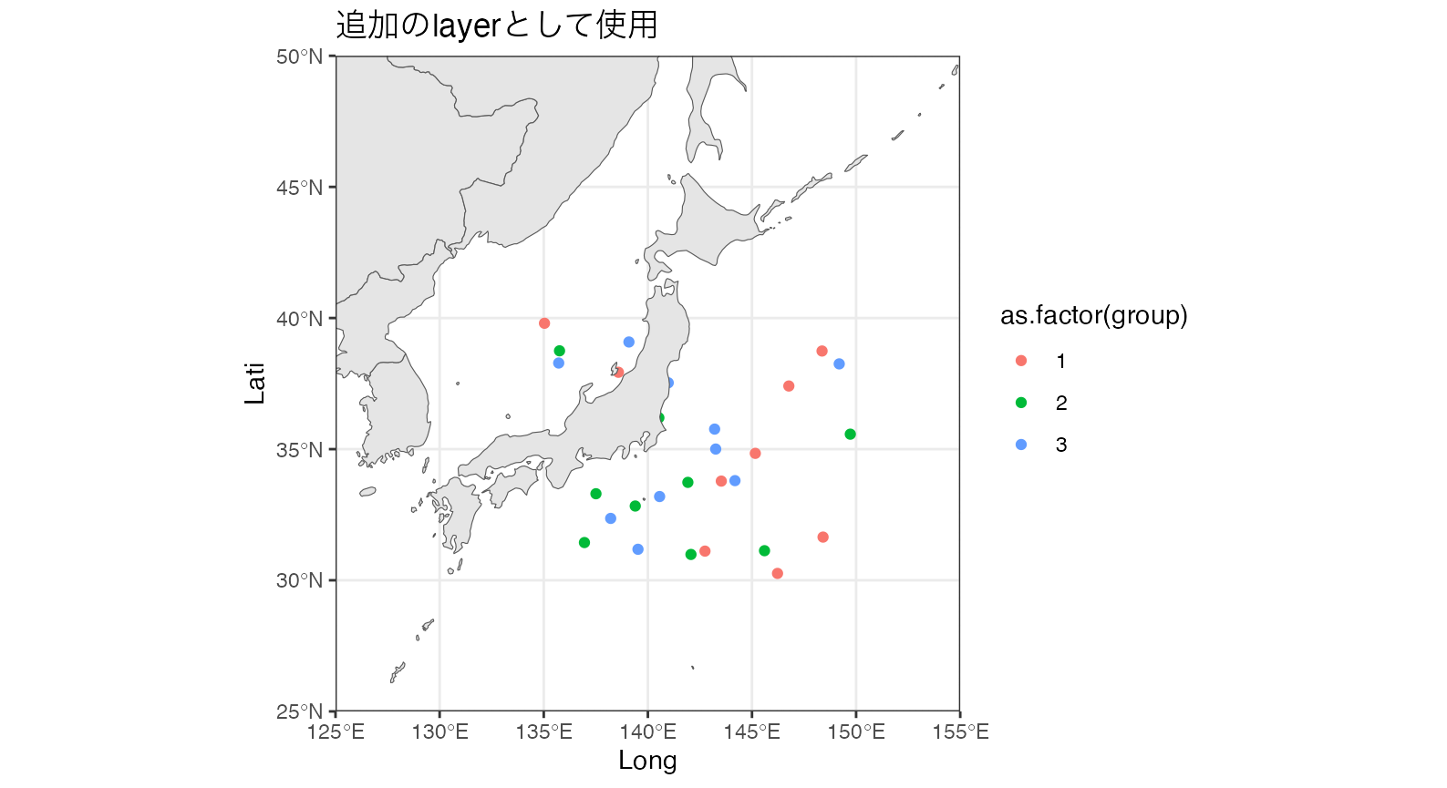
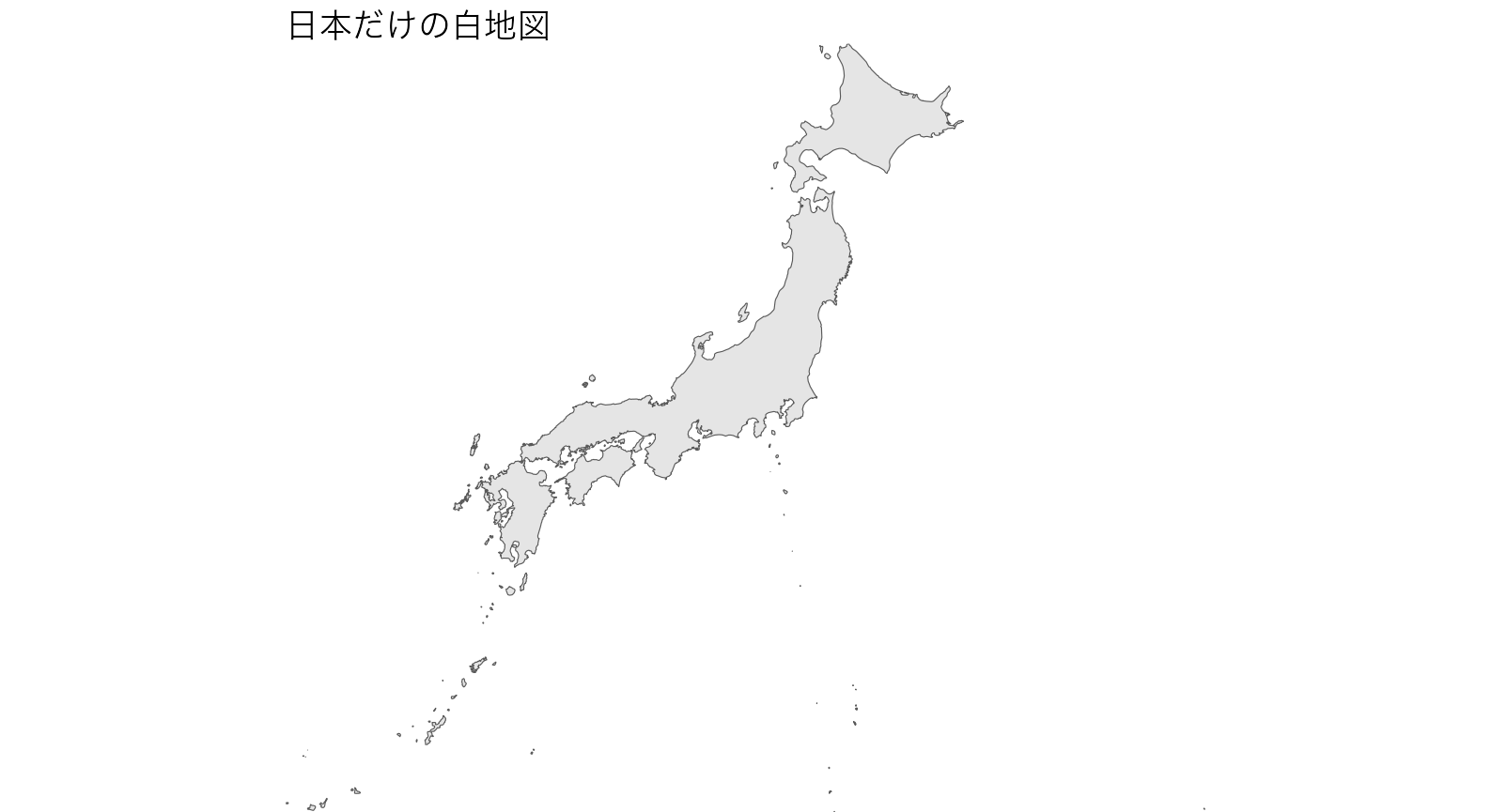
3. 任意のsfオブジェクトを使用
jpn <- rnaturalearth::ne_countries(scale = 10, country = "japan") %>%
    sf::st_as_sf()

wmap_sf(sfmap = jpn, aes(geometry = geometry)) +
    theme_void() +
    ggtitle("日本だけの白地図")